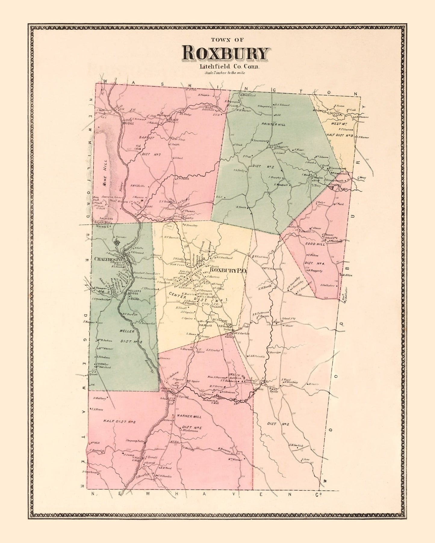
Uncover a slice of history with our beautifully restored vintage map of Roxbury, nestled in Litchfield County, Connecticut. Originally crafted in 1867, this map is more than just a decor piece; it's an engaging way to celebrate the charm and history of local New England life. Whether you're looking to spark interesting conversations or just want to appreciate local heritage, this print makes any room feel more inviting.
All of our prints are crafted for quality and ease. Ready to hang right out of the box, each framed print is constructed by hand using solid wood frames that add a touch of elegance. For those who prefer the organic texture and depth that only canvas can provide, we offer handmade canvas prints on polycotton fabric stretched over sturdy wooden bars. Prefer something classic? Our unframed versions come printed on high-quality matte paper that captures every detail crisply.
This unique piece makes a thoughtful gift for history enthusiasts or anyone with ties to Connecticut's past. It blends effortlessly into home or office settings while enriching your space with stories from yesteryears.